Cape Horn
Cape Horn, located at the southern tip of Chile’s Tierra del Fuego archipelago, is one of the most famous and treacherous maritime landmarks in the world. It marks the northern boundary of the Drake Passage, the narrow sea route between South America and Antarctica.
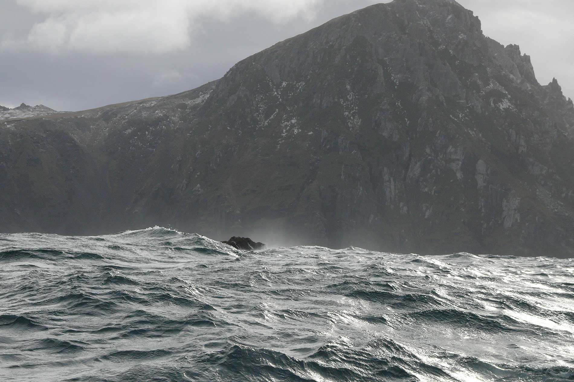
Cape Horn is situated at 55° 58′ south latitude and 67° 17′ west longitude in Chilean territory. It is part of the Hermite Islands, which belong to the larger Tierra del Fuego archipelago. The region is characterized by steep, rocky cliffs and harsh weather conditions, making it one of the most remote and challenging places for sailors.
Cape Horn was first rounded in 1616 by Dutch explorers Willem Schouten and Jacob Le Maire. They named it after the Dutch city of Hoorn, which was Schouten’s hometown.
The waters around Cape Horn are notorious for their violent storms, massive waves, and strong westerly winds. This is due to the lack of significant landmasses in the Southern Ocean, allowing winds to travel unimpeded and generate extreme conditions. Waves here can reach over 30 meters (100 feet) high, and wind speeds often exceed 100 km/h (60 mph), creating a serious hazard for ships.
Before the opening of the Panama Canal in 1914, Cape Horn was a crucial maritime route for ships traveling between Europe, the east coast of North America, and the west coast of South America. It was particularly important for merchant ships and whalers during the 18th and 19th centuries.
Today, Cape Horn is no longer a major trade route, but it remains an iconic destination for adventurous sailors, cruise ships, and maritime history enthusiasts. It is part of Cabo de Hornos National Park, a protected area that hosts a monument dedicated to lost sailors, along with a lighthouse and a small Chilean naval station. Many modern sailors attempt to round Cape Horn as a challenge, keeping the legendary spirit of exploration alive.
P.S. Image attribution: Sylt-Tinto, CC0, via Wikimedia Commons